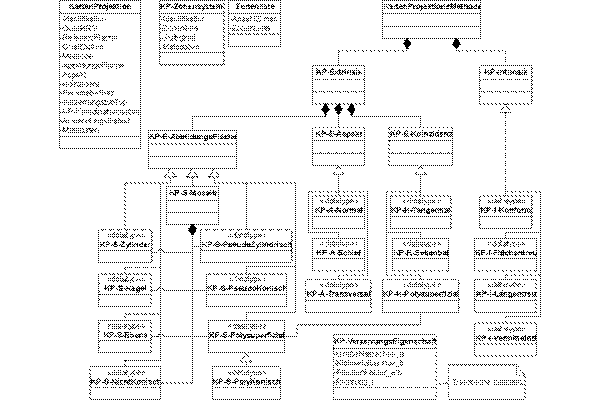
Data Modelling of Map Projections
Dr. Stefan A. Voser, MapRef.org
Konzeptuelle Modellierung von Koordinatensystemen für Geodateninfrastrukturen
No Comment
coordinate reference systemsdata modellingdata modellingfigure of the earthGeodesygravity fieldmap projection theorysystematicstheory of map projection
Konzeptuelle Modellierung von Koordinatensystemen für Geodateninfrastrukturen, Dr. Stefan A. Voser, MapRef.org
[Voser 2007]


![Modellierung von Koordinaten-Referenz-Systemen - Hauptkonzept [Voser 2007]](https://insides.mapref.org/wp-content/uploads/2007/03/crs-change_300x200.gif)